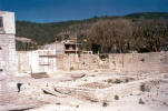
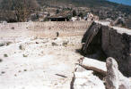
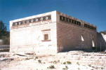
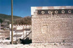
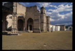
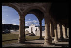
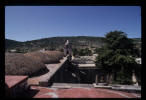
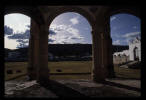
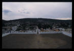
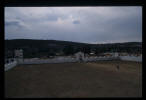
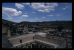
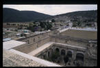
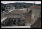
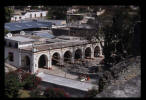
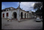
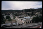
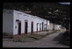
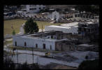
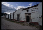
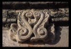
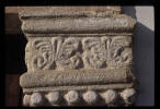
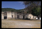
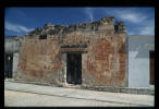
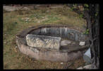
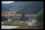
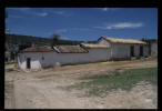
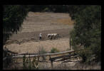
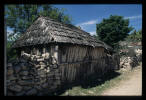
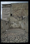
I have provided these images to supplement those in the papers you may access by using the navigation buttons to the left.
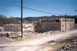
These are images taken after 1995 by a student during the restoration work conducted on the Casa de la Cacica and sent to me by e-mail.
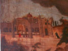
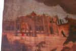
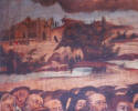
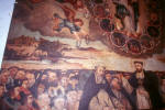
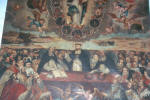
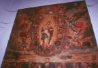
These are photographs taken by Dr. Kiracofe in 1995 of a painting, dated 1746, inside the church in Teposcolula. What caught my eye was the depiction of one of the towers
falling, apparently in an earthquake. Also of interest is the depiction of what appears to be a lake in the vicinity of the town. I wondered if hydraulic works, long a specialty of the Mixtecs in re-shaping their landscape to expose, by controlled erosion, richer soils for agriculture, played a part in the creation of this lake, no visual evidence of which survives on the ground today. The impoundment of water for use in milling grain may have been a consideration if the lake was of colonial era construction. There is an early colonial era bridge at the down stream end of the valley at the foot of the mountain on which the pre-Columbian hill town was built. There were other man made walls and stone work near the bridge that I wanted to investigate further to see if they might have been foundations of some structure, possibly a mill.
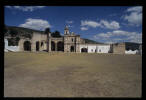
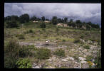
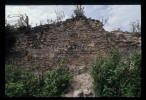
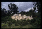
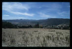
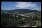
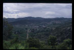
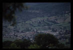
These are photographs taken by Dr. Kiracofe during field research 1991-1995. The survey work in 1995 was conducted with the assistance of Daniel DiMarco, then a student in the Master's program in the College of Architecture and Urban Studies at the Virginia Polytechnic Institute and State University
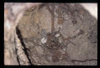
The Pueblo Viejo, or site of the pre-Columbian hill top fortified town and views from Pueblo Viejo to the new
town of San Pedro y San Pablo Teposcolula. The last image is an un-excavated burial exposed by natural causes or those seeking treasure.
These are some images I have posted 10 June 2008 for Carlos Rincon Mautner for his use with my permission in a scholarly article for publication. More follow.
