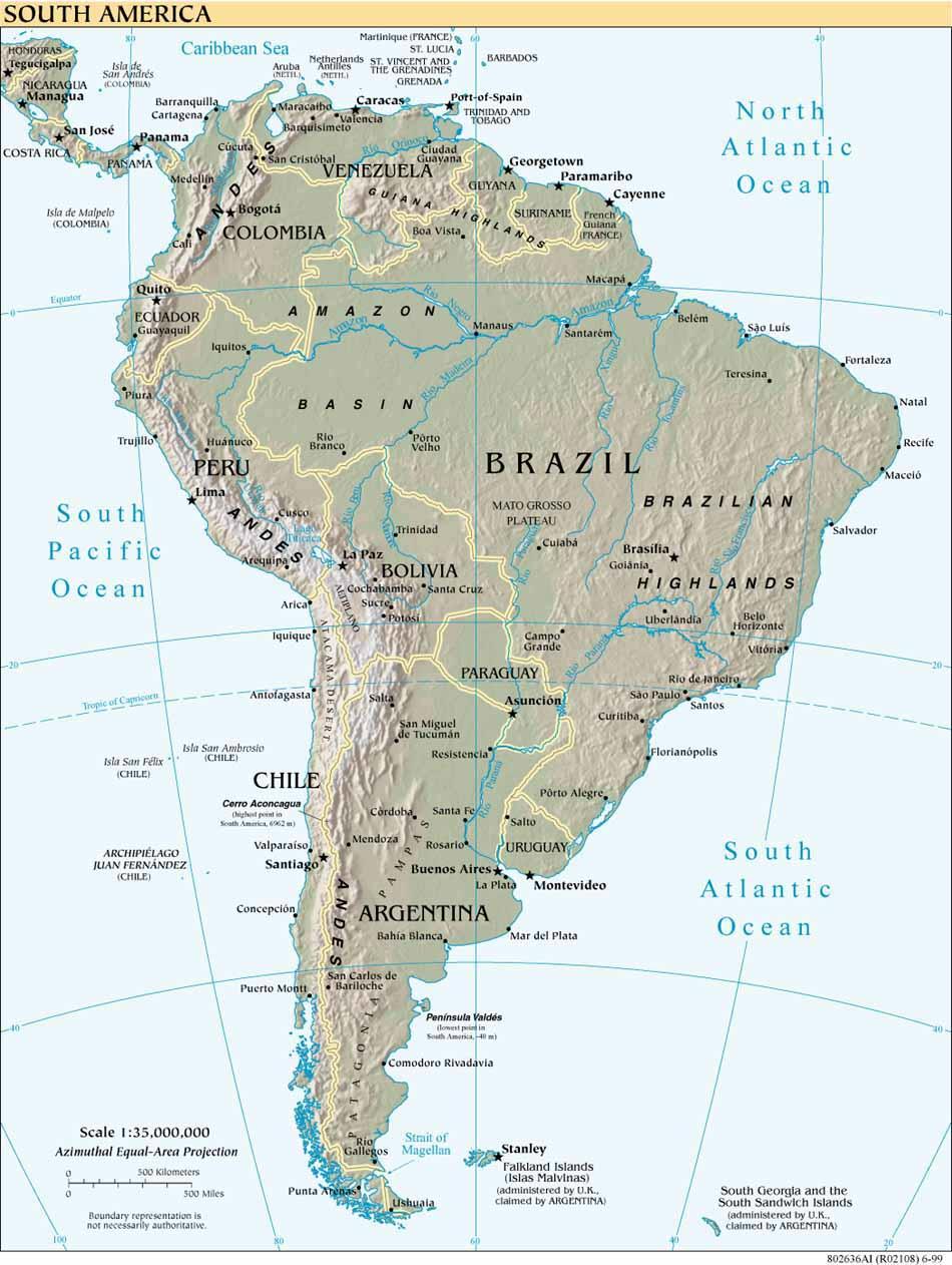
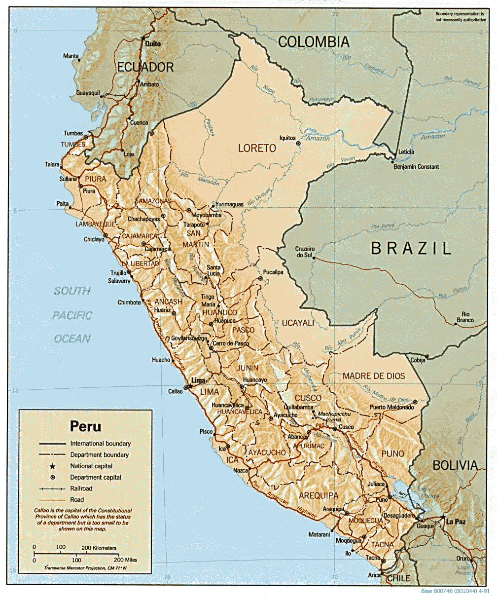
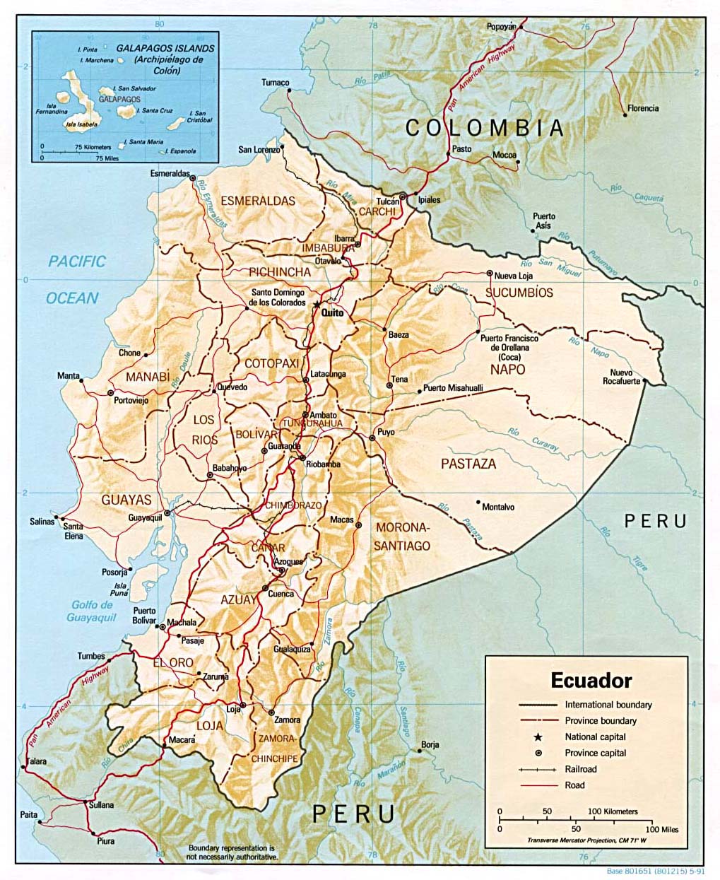
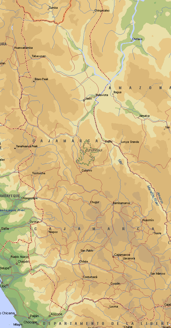
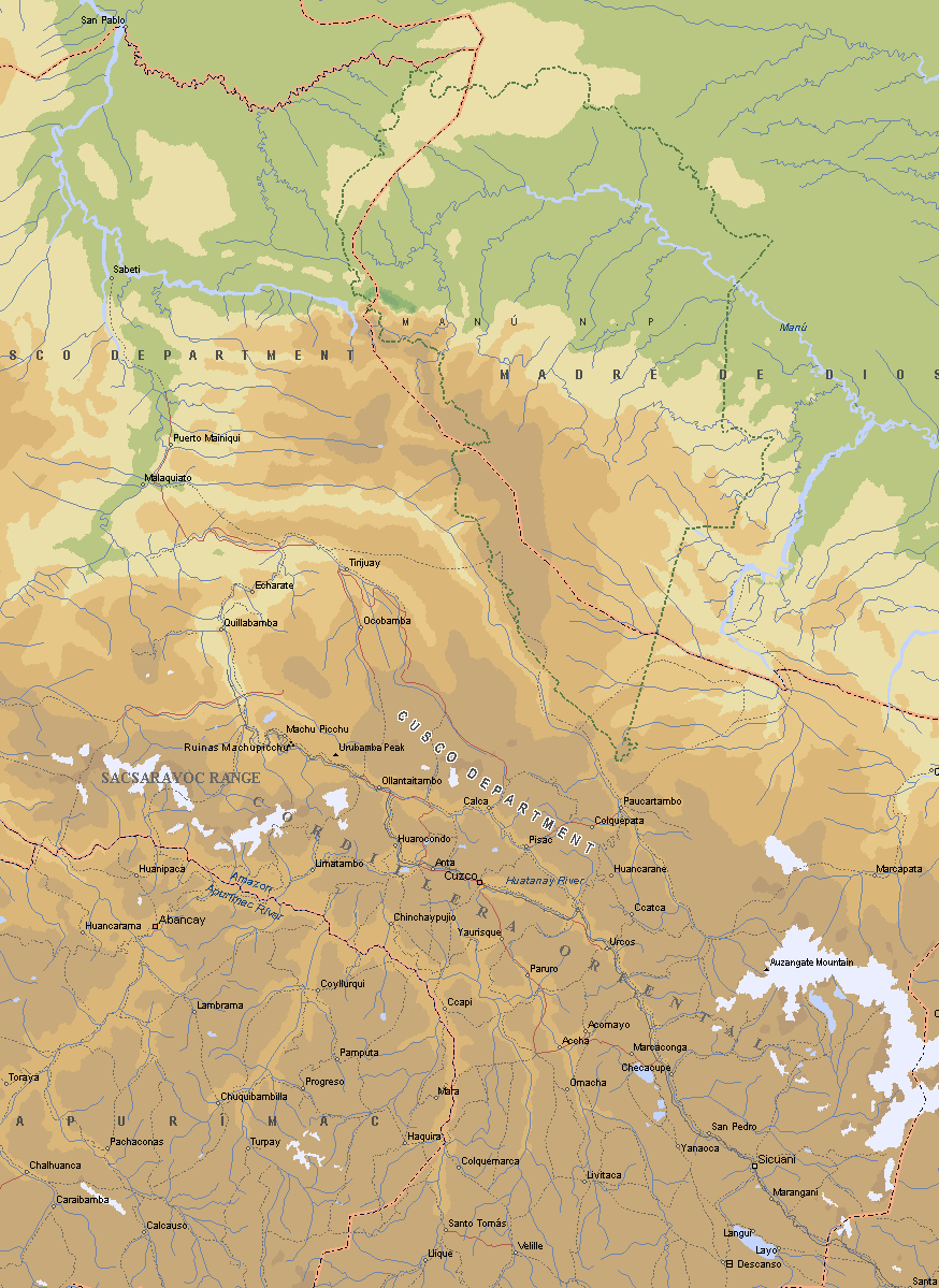
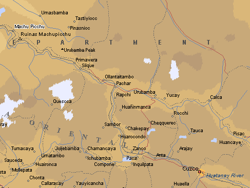
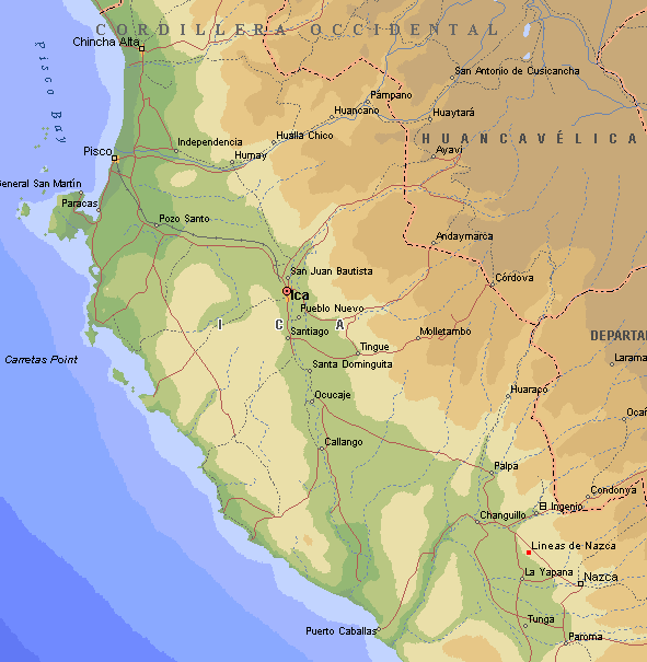
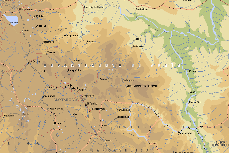
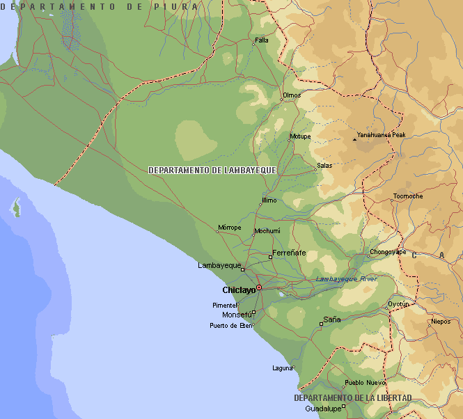
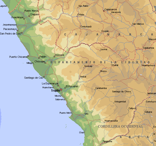
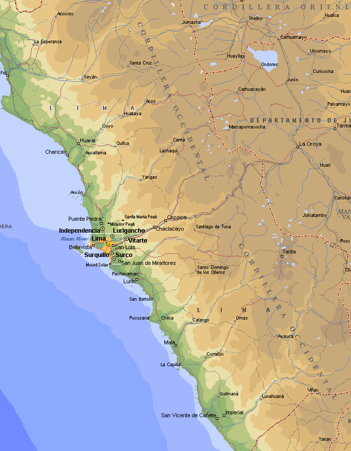
Maps:
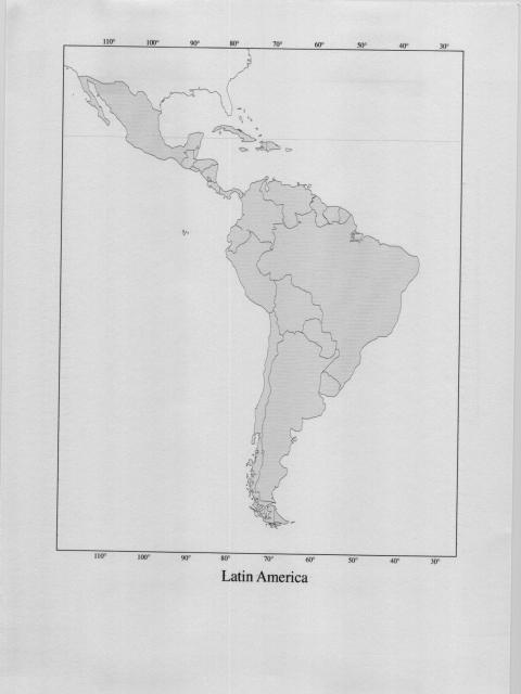
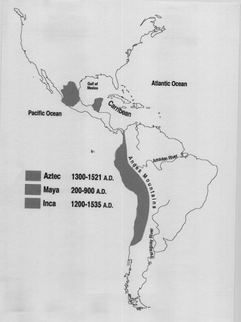
the following maps come from www.lib.utexas.edu/Libs/PCL/Map_collection/americas
They may be helpful in a general way for determining relative altitudes of specific places.

|
|
|
|
Maps:
the following maps come from www.lib.utexas.edu/Libs/PCL/Map_collection/americas They may be helpful in a general way for determining relative altitudes of specific places.
|